New Zealand Maps: Outline, Boundaries and Names
Three printable maps of New Zealand: a clean country outline, a subdivision map and a labelled reference map.
What’s in the worksheet?
- Country outline map
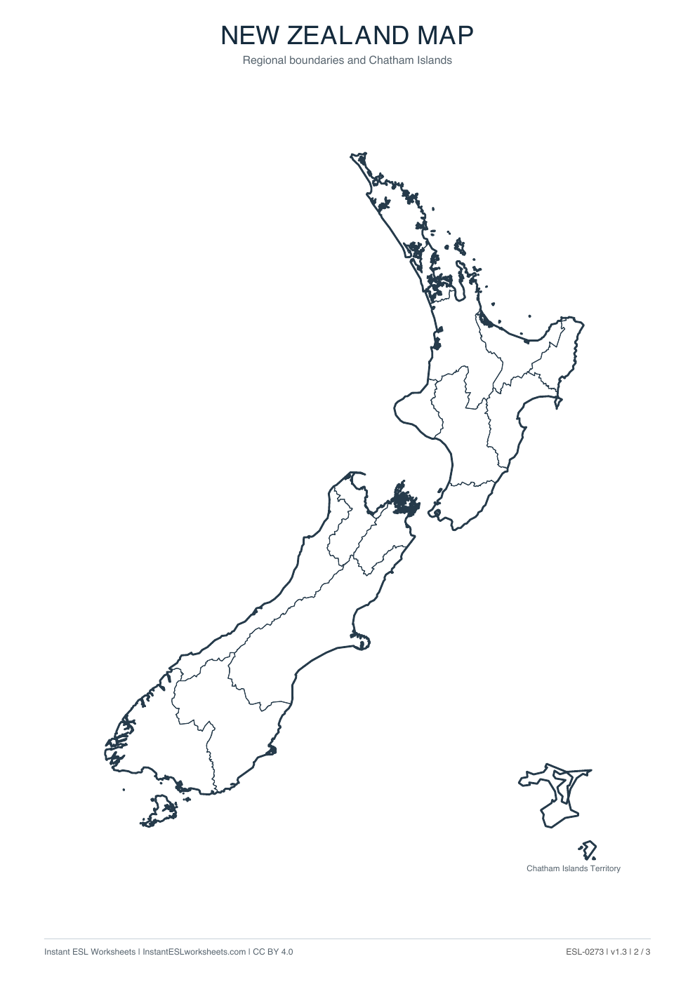
- Internal boundary map
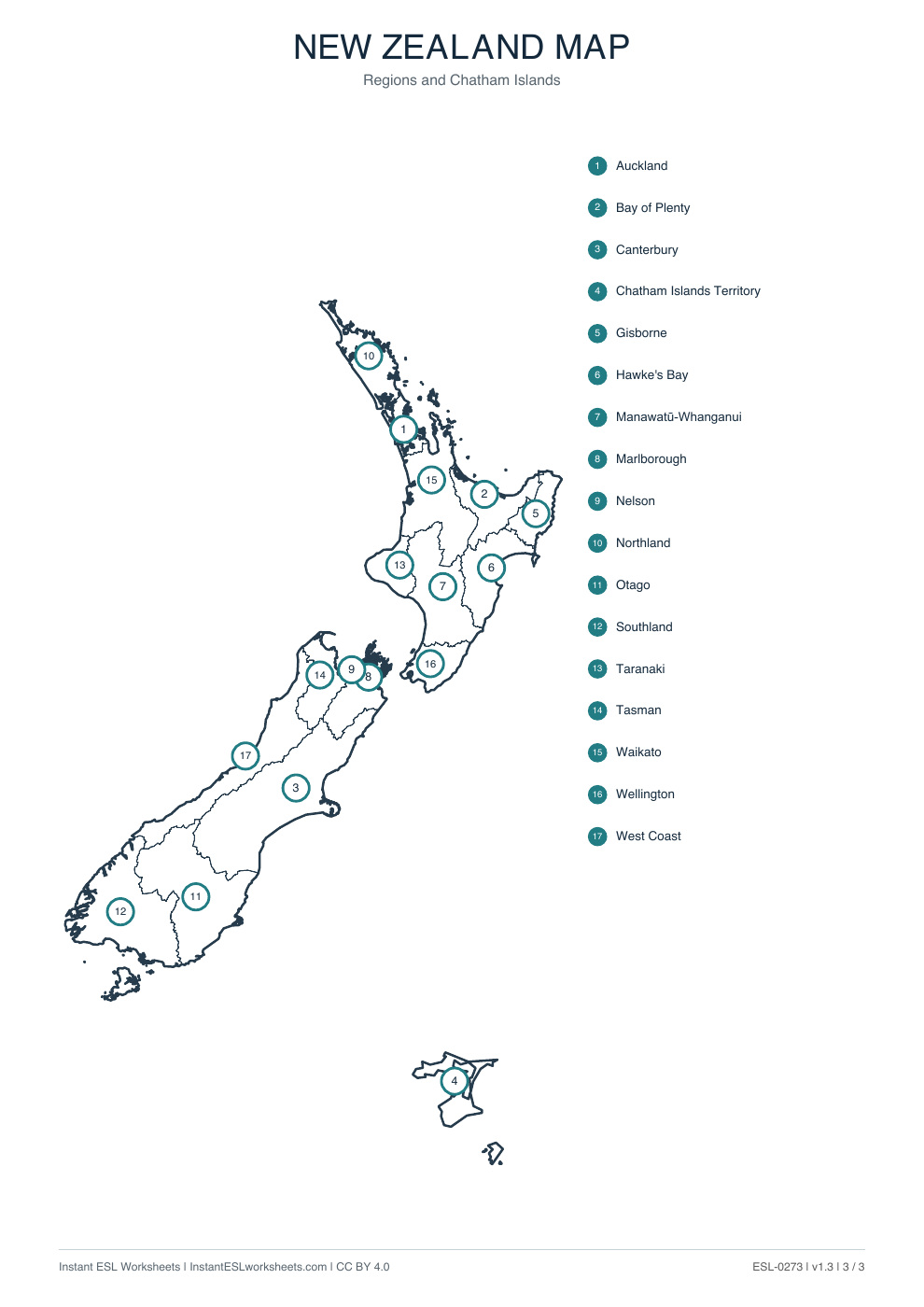
- Labelled subdivision reference
- Three printable map pages
Worksheet preview
Open PDF ↗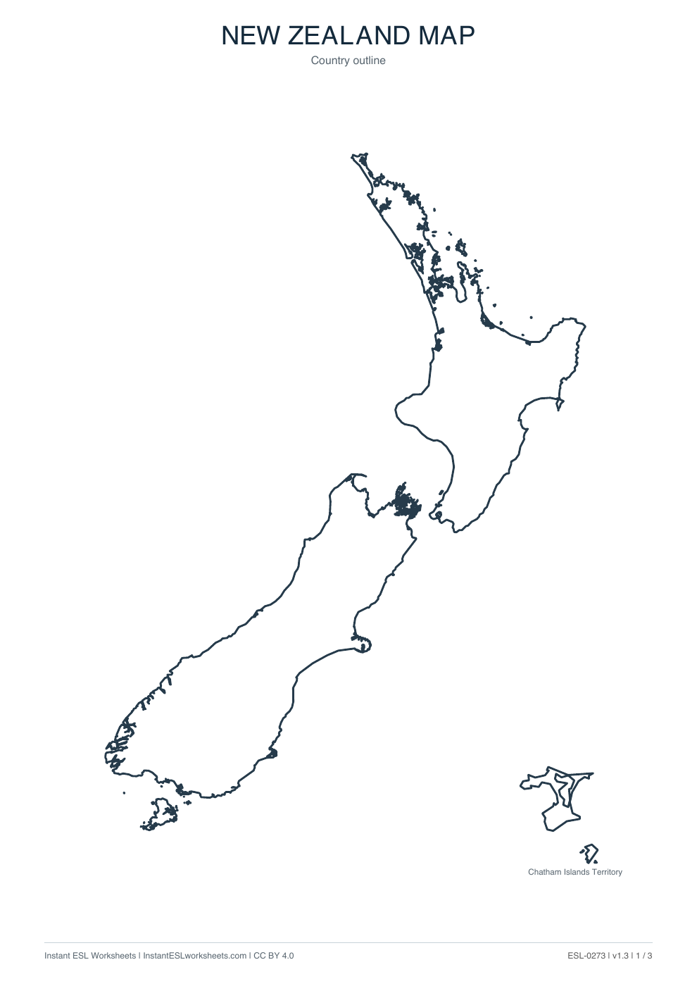
Page 1 of 3 · A4 printable PDF
Page 2 of 3 · A4 printable PDF
Page 3 of 3 · A4 printable PDF
A simple way to teach it
- Use the outline map to introduce the country and its shape.
- Ask learners to locate or colour regions on the boundary map.
- Use the labelled page to check answers and practise place names.
Suggested approach. Adjust the pace and number of questions to suit your class.